

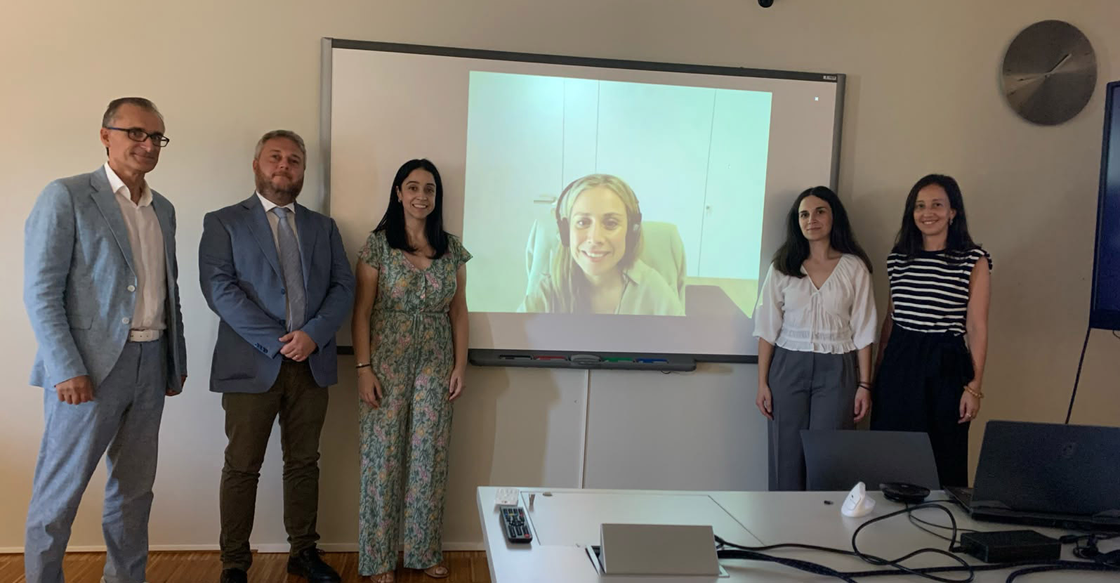
On 22 September, Elisavet Tsiranidou, a researcher with the GEOTECH group at CINTECX, defended her doctoral thesis, which focused on the development of automated methodologies for analysing, characterising and modelling urban space using geospatial data. The defence took place at the Escola de Enxeñaría de Minas e Enerxía.
Entitled ‘Geospatial Data Processing for 3D Modelling of Urban Space: Towards Functional Characterisation of Urban Environments at the Street Scale’, the research addresses the development of detailed digital representations of the urban environment, focusing not only on buildings but also on the elements that make up public space at street level.
The thesis, supervised by Lucía Díaz Vilariño (CINTECX – Universidade de Vigo) and Antonio Fernández Álvarez (CINTECX – Universidade de Vigo), both from the University of Vigo, explores the combined use of different geospatial data sources, particularly LiDAR point clouds, to automatically identify and characterise elements of urban space. These include road markings, carriageways, pavements, parking areas and various elements related to accessibility.
From geospatial data to a functional 3D model of the city
One of the key advances of this research is the ability to transform large volumes of geospatial data into structured information about the urban environment. The methodologies developed enable different street elements to be automatically extracted and organised according to varying levels of spatial detail, facilitating their incorporation into three-dimensional urban models.
These models are not limited to visually representing the space; they also incorporate information on the characteristics and function of its various elements. To this end, the research integrates the results into approaches to semantic modelling of 3D cities, using standards such as CityGML 3.0 and volumetric modelling techniques based on Constructive Solid Geometry (CSG).
The research also pays particular attention to pedestrian accessibility. In this area, methodologies were developed to automatically detect tactile paving and represent information that can help improve navigation for pedestrians with visual impairments.
Overall, Tsiranidou’s work contributes to the development of more detailed and functional digital representations of the urban environment, capable of integrating information on the geometry, characteristics and use of public space. These tools can facilitate the analysis of the urban environment and support the development of more accessible and inclusive digital city models.